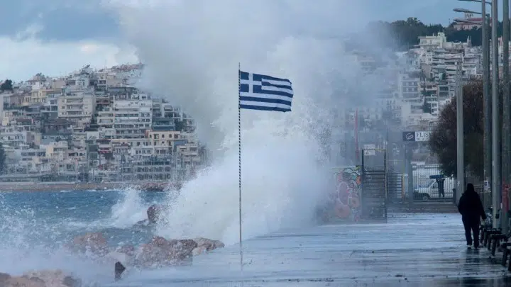
Less than a week after the storm called Athena hit Greece, a new weather front code-named Ballos, is expected to worsen weather conditions on Wednesday night. The storm will produce heavy rainfall, thunder and lightning and sharp drops in temperature across the country.
The National Meteorological Service (EMY) issued a Red Alert warning about the extreme weather that is predicted to occur later today. It predicts powerful rainfalls, thunderstorms which will be locally accompanied by hail, and temperature drops of up to 7 degrees Celsius.
An emergency teleconference meeting was held by the Civil Protection and 13 regional governors on Tuesday regarding the new storm. Ballos will affect Greece from Wednesday night and continue into Thursday and Friday.
It is expected to bring heavy rains and downpours that will initially hit the Ionian islands and the west of the country. Then it will spread to Thessaly, mainland Greece and the rest of the nation.
There will be a temporary weather improvement during the day on Wednesday, until the new storm strikes late in the evening. Its ramifications may include hail on the islands and coastal regions and even snow at high altitudes and gale-force winds at sea, reaching up to 8 or 9 Beaufort (39 to 54 miles per hour) on Friday.
Civil Protection Ministry warnings for Ballos
The Civil Protection Ministry has had several meetings with local authorities expected to be especially affected by Ballos. It was decided that all various agencies involved will be in a state of readiness and high alert to immediately respond to possible problems that may arise.
The severe weather will continue to strike the whole of Greece again on Friday. The storm will weaken in the northwest on the afternoon. On Saturday, heavy rainfall and storms will affect the east of the country, but the front will gradually weaken.
The Civil Protection Ministry has advised residents in areas expected to be badly affected to exercise great caution and avoid unnecessary travel. They should securely fasten doors and windows and be ready to move to higher parts of the house in the case of flash flooding.
In areas that have flooded previously, it is advised that residents not remain in basements or underground areas. Officials also warn that people should not attempt to cross flooded roads or streams and torrents — either on foot or in a vehicle — for any reason.
Ballos storm to cause problems throughout Greece
Authorities also advise the securing of loose objects that may be washed or blown away and cause either damage or injury. People should ensure that drains and gutters are not blocked and are working properly.
Finally, people are advised to take cover immediately in the case of hail and to protect animals, whenever possible. They should also avoid passing under large trees, signs and places where objects may fall from above.
The Civil Protection Ministry has asked regions and municipalities to coordinate closely and take the measures for which they are responsible. The existing general Civil Protection action plan against flooding, which will be in effect during Ballos, is code-named “Dardanos.”
The name of the new storm originates from the Italian ballo, via Latin, which derives from the Greek verb “ballizo”, “to dance, to jump.” Ballos is a Greek folk island dance with ancient elements, typical of the music of the Aegean Islands.
See all the latest news from Greece and the world at Greekreporter.com. Contact our newsroom to report an update or send your story, photos and videos. Follow GR on Google News and subscribe here to our daily email!


